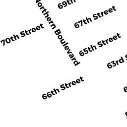
11 67TH ST
Owner Information
DOMBROSKI MARK E
369 WEST SUTTON RD
SUTTON, MA 01590


Property Details
11 67TH ST is classified as a Single Family Residential (Colonial).
The primary structure on this property was built in 1940. There are 1,980ft2 of built area within this property. There is 1,080ft2 of residential/living space within this property. This property is listed as having 40 rooms.
11 67TH ST is valued at $379,900. The land is valued at $266,800 and the structures are valued at $113,100.
This property is in Zone R3. Confirm with local Zoning Board authorities to ensure there are no overlays or other easements on this property.
The most recent deed for 11 67TH ST is recorded at the local registrar in Book 37045, Page 212. 11 67TH ST was last sold on Friday, September 28, 2018 for $500,000.
Assessment data from fiscal year 2021.
Flood Data
This property is completely within the AE Zone (within floodplain).
The base flood elevation for this flood zone is 9 feet.
This information is sourced from the FEMA National Flood Hazard Layer. See our full disclamer.
Broadband Internet Providers
| Provider | Type | Bandwidth (mbps) | |
|---|---|---|---|
| VSAT Systems, LLC. | Satellite | 2 | 1 |
| Viasat Inc | Satellite | 100 | 3 |
| Comcast | Cable | 1000 | 35 |
| GCI Communication Corp. | Satellite | 0 | 0 |
| HughesNet | Satellite | 25 | 3 |
Broadband service provider data from December 2020.